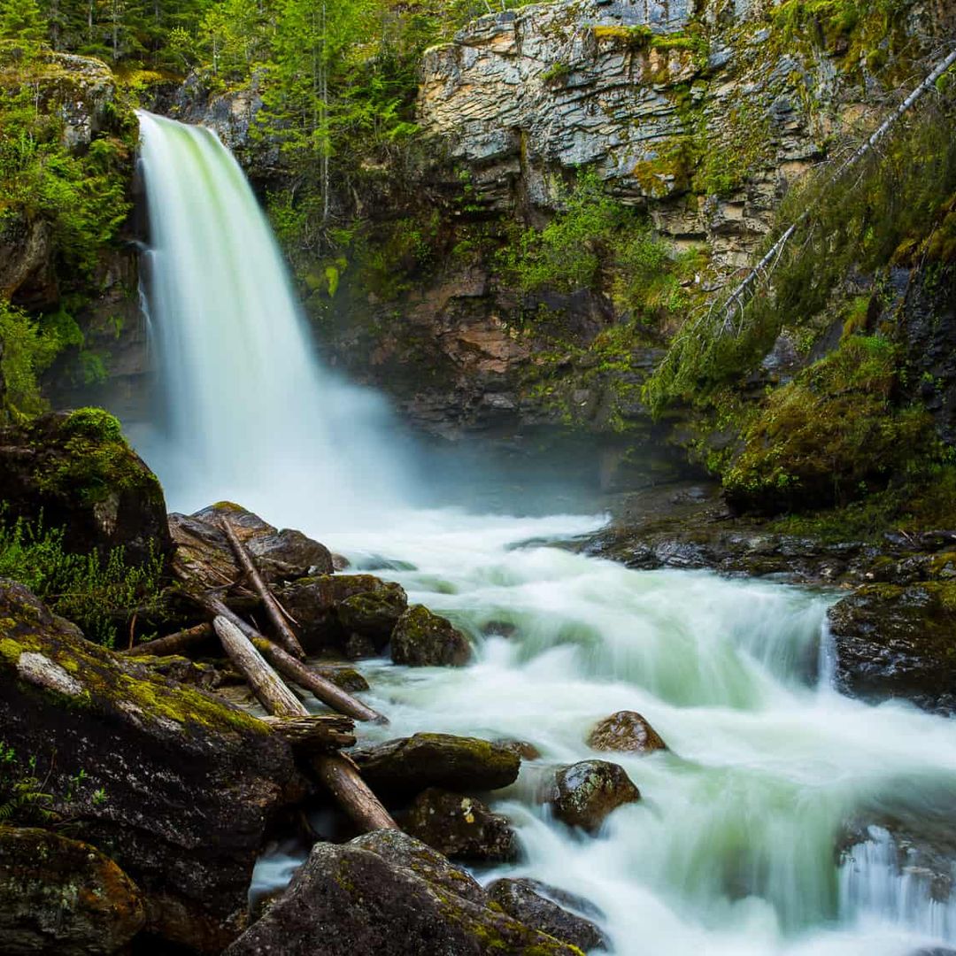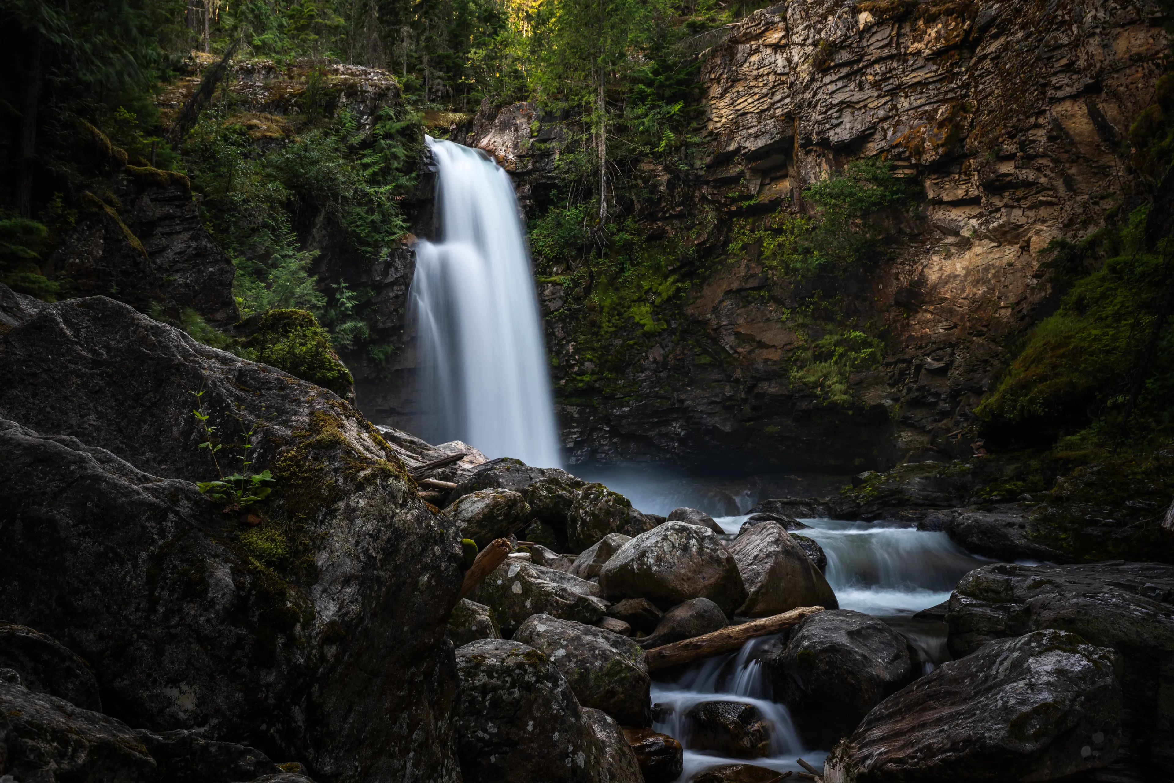
More About Our Waterfalls

Begbie Falls
3km One Way
Accessed by driving 8 km on Highway 23 South. Look for the trailhead sign and parking lot on the left. From the parking area on Highway 23 South, this trail will take you through a beautiful forest, mostly following Begbie Creek. Keep to the main trail, away from the bluffs. When arriving at the Begbie Falls Recreation Site, you’re a short and steep 15-minute hike away from the waterfall platform. This trail is managed by Recreation Sites and Trails BC.

Sutherland Falls
0.5 km return
Accessed by driving 23 km on Highway 23 South. The Sutherland Falls Hiking Trail at Blanket Creek Provincial Park leads to a 12m high waterfall. This short trail will take you approximately 5 minutes, walking through a forest of western cedar and hemlock, white pine, and moss. This is an accessible hike for all ages. In the winter, you’ll start at the park gate and walk down the winding road. This adds 3km to your hike. Give yourself at least an hour. Consider wearing snowshoes, microspikes, or ice cleats.

Bear Creek Falls
1 KM return
9 km east of the Rogers Pass Discovery Centre in Glacier National Park. If travelling from the east (from Alberta), there is no left turn; turn around at Hermit trailhead and approach from the west (from Revelstoke). A short but sweet trail leads you down to a glacial waterfall where the Connaught Creek waters cascade down the falls joining the Beaver River. At the bottom of the hill, stay on the main trail to go to the falls. Keep in mind that the stroll back up the hill may have you breaking a sweat!

Frog Falls
The falls are tucked along Wap Creek in the Three Valley Gap area. The main falls drop 77 feet down a fractured cliff before it continues deeper into the gorge. A small hydroelectric facility at the falls generates power for the Three Valley Gap community. Though the dam is visible, it’s a prime example of a well-implemented Run of River setup that balances energy production with preserving the natural flow and appearance of the site. Please note that this is an active industrial road, a 2-way radio is necessary.
Sustainability
Staying on marked trails isn’t just about keeping yourself safe—it’s key to preserving Revelstoke’s ecosystems. When visitors venture off-trail or follow “goat trails,” it damages fragile plants, erodes the soil, and disrupts wildlife habitats, which can take years to recover, if at all. Trails are designed to handle foot traffic in a way that protects the forest floor, rare plants, and the rainforest’s natural regeneration. By sticking to the trail, you’re helping to keep Revelstoke’s wilderness healthy, thriving, and beautiful for the next visitors—and for future generations.
When travelling on active industrial roads, it is extremely important to carry (AND USE!) a 2-way radio. This allows others to know you are on the road & avoids collisions with oncoming machinery. Seriously, it is important.

Resources for your trip

The Real Stoke
Fuel Your Fire Within.
Experience #TheRealStoke for yourself.

