Special Statements
No wildfires are threatening the town of Revelstoke.
Effective July 23, there is a Category 1 fire ban for the entire Southeast Fire Center, including Mount Revelstoke and Glacier national parks. This means fires of any kind are not allowed around Revelstoke. This prohibition is being enacted to help prevent human-caused wildfires and protect public safety.
What is allowed? CSA/ULC approved cooking stoves that use gas, propane, or briquettes. Briquettes are not allowed in national parks during a fire ban.
(Update: July 23, 2026)
Fire Ban FAQs
Category fires and fire bans can be confusing, here is a run down of what it means when a fire ban is on.
Up-to-date Wildfire Situation.
Revelstoke is located in the Southeast region of British Columbia.
The BC Wildfire Service App is available on the App Store and Google Play. The app provides up-to-date wildfire information on your mobile phone, helping you stay informed about wildfires and wildfire-related events and conditions across B.C.

Golf Course Scenic Aerial | P Steve Shannon
Campfire bans.
When researching our area, please note that Revelstoke is located in the Southeast region of British Columbia.
Parks Canada declares their own fire bans within the Glacier National Park and Mount Revelstoke National Park boundaries.
Report wildfires on the app, to *5555 on a cell, or 1-800-663-5555 toll-free.
)
Snowforest Campground, Mount Revelstoke National Park | Parks Canada © Parks Canada / Parks Canada
Air Quality.
British Columbia is a very large province!
Smoke conditions across the province can change hourly. Check IQ Air or Purple Air for updates on Revelstoke's air quality.
For visuals of Revelstoke's current conditions, visit our Webcams page.

Miller Lake, Mount Revelstoke National Park | P Tom Poole © Tom Poole Photography / Tourism Revelstoke
Communication Channels.
When visiting Revelstoke, we recommend downloading the app, Alertable. If any emergency were to happen during your visit, this app will send you a notification.
This app is used amongst many British Columbia communities and worth downloading if continuing travel throughout the province!

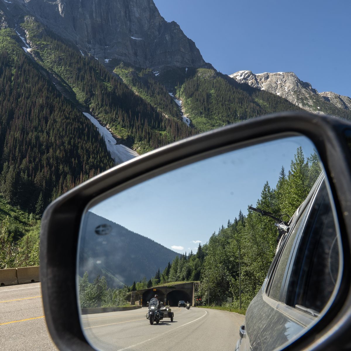
Road Conditions & Events.
Revelstoke is located on Highway 1.
DriveBC is British Columbia's resource for current events such as rockfall, weather changes, emergency response, and construction. The platform also outlines planned events such as avalanche control, construction, and other pre-planned events impacting travel.
Glacier National Park Highway 1 | Road Trip | P Kyra Sklar

