Meadows in the Sky Parkway Guide

Mount Revelstoke National Park.

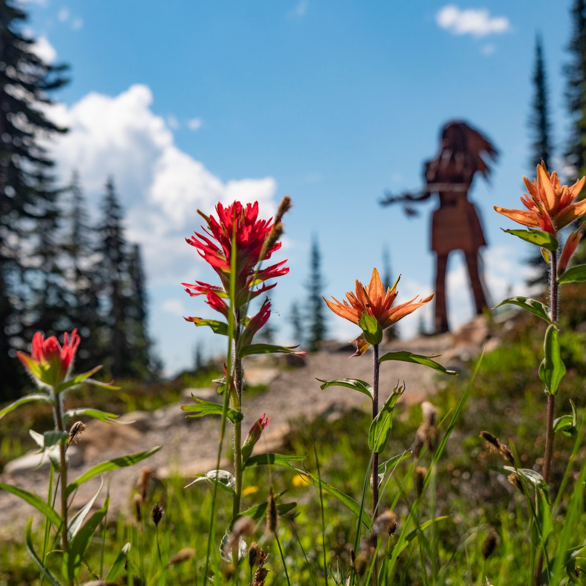
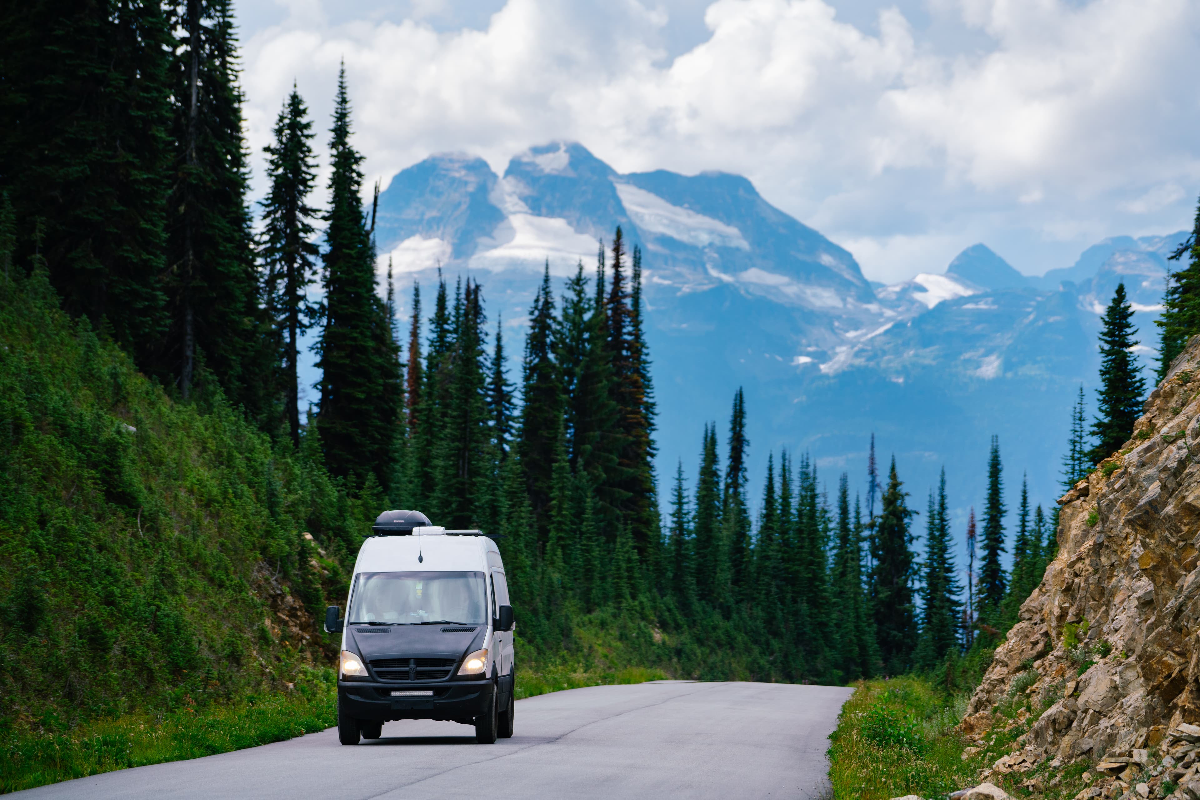
Drive the Meadows In The Sky Parkway, a 26km paved road that leads you to the summit of Mount Revelstoke National Park. There are six viewpoints to stop at on the way up with short hikes, picnic areas, and sightseeing of the Columbia Valley. Longer hikes are accessed at the summit.

Driving up the Parkway is only accessible when the road is free of snow, approximately between May - October.

RVs longer than 7.9 meters (26ft) and towed trailers/vehicles are restricted from going up the Parkway due to tight switchbacks and limited parking at the summit.

Dogs are not allowed passed the Monashee Viewpoint. You cannot take your dog in your vehicle beyond this point.

HIKING.

Access up to 10 hiking trails from the Meadows in the Sky Parkway. Ranging from easy lower elevation trails, to difficult alpine hikes.

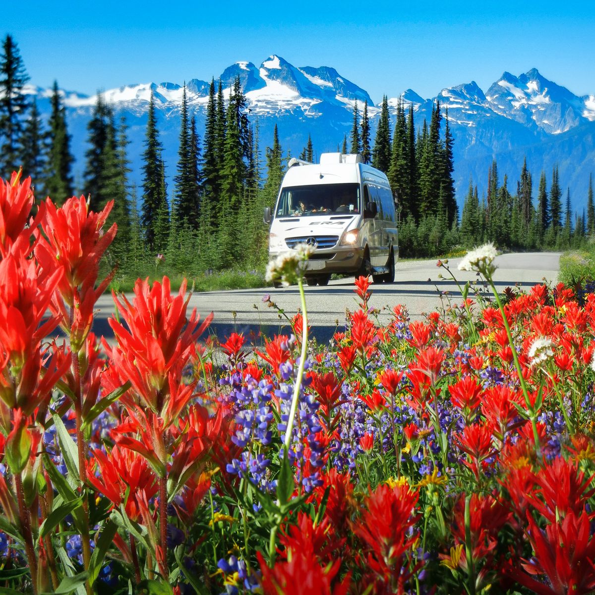
Hiking in Mount Revelstoke National Park takes you through our inland temperate rainforest up into the sub-alpine and alpine terrain. View old-growth forests, meadows of wildflowers, and alpine lakes.

Backcountry camping requires reserving a permit in advance.

Important: Summit parking is extremely limited, start early and have a plan B if there is a wait to access the summit.

woman hiking in alpine above lake

BIKING.

Wind your way up the Meadows In The Sky Parkway, climbing over 1,400 m on your road bike with over 7 roadside lookouts along the way and a fast, flowy descent back down.

Explore cool rainforest trails on a hot summer day with your gravel bike or mountain bike, with 9km of intermediate double wide mountain bike trails.

Cheer on your kids as they conquer features in the Beaver Lodge Kids Bike Park.

road biking along quiet paved road high above valley bottom

SHUTTLE SERVICE.

Visitors can reach the Mount Revelstoke summit area by shuttle.

The shuttle is a convenient option for visitors travelling in vehicles that are not permitted on the Meadows in the Sky Parkway, and helps reduce parking demand and traffic congestion in the park.

For schedules, fares, and booking information, visit the websites of our authorized shuttle operators:
Mount Begbie.

16 km return | 2,111 m elevation gain | Extreme

๐Ÿ•โ€๐Ÿฆบ Pets are allowed

This is a highly advanced trail that should only be attempted by experienced hikers. While the trail is well laid out, it is a slog. The elevation gain is no joke.

Most of the trail is within the forest, while there are no views, you will be climbing up through the inland temperate rainforest. At 5km up, you will find a large meadow and campsites, with views of the Columbia Valley and Revelstoke from above.

Important: The toe of the glacier is 1km from the campsite. Only individuals experienced in glacier travel and mountaineering should attempt to scramble to the summit.

hiking below glacier of iconic mountain peak

Perley Rock.

Glacier National Park | 12.8km return | 1,145 m elevation gain | Advanced

๐Ÿ•โ€๐Ÿฆบ Pets are allowed on leash, unless otherwise noted on the Parks Canada site

This trail leads you up past Vaux Creek with great views of natural waterfalls, then launches into what some would call a 'brutal climb' into the alpine. Many switchbacks lead you up towards the Illecillewaet Glacier. In the early season, snow crossing might be mandatory to access the foot of the icefield. Exercise extreme caution and consider bringing crampons, or turn around.

Important: Glaciers are constantly moving and changing. Due to the unstable nature of retreating glacial ice, ice caves and ice overhangs are not safe to walk underneath. Do not enter the ice caves.

Hiking Glacier National Park Perley Rock

Keystone Standard Basin.

32 km return | 1,160 m elevation gain | Challenging

๐Ÿ•โ€๐Ÿฆบ Pets are allowed

This trail is used by mountain bikers, hikers, and trail runners. The trail hikes up 11km to a backcountry cabin, then continues down to an alpine lake. This is often the turnaround point for mountain bikers. Continue on the trail up to the Keystone Standard Peak Trail, 7.4km longer.

Drive up Highway 23 North from Revelstoke to access the Keystone Standard Basin Trail. Turn right onto Keystone FSR at 50 km on Hwy 23 North, then follow the signs 17 km to the trailhead. 2-way radio mandatory for travel on FSR.

Important: There is no cell coverage or water along the trail. Come prepared for rapid weather changes and bear encounters.

A cyclist rides along a winding trail through a lush, mountainous landscape with evergreen trees and snow-capped peaks under a blue sky.

Asulkan Valley.

Glacier National Park | 15.8 km return | 870 m elevation gain | Advanced

๐Ÿ•โ€๐Ÿฆบ Pets are allowed on leash, unless otherwise noted on the Parks Canada site

The trail follows along a moderate valley and climbs a steep glacial moraine. At the end of the trail, you will find the picturesque Asulkan Cabin, available by reservation with the Alpine Club of Canada.

You will cross creeks, view natural glacier-fed waterfalls, and see the lower tongue of the Illecillewaet Glacier below.

Important: seasonal bridges are removed for winter in late September. Creek crossing may be mandatory after this.

A group of hikers gather outside a wooden mountain cabin in a rocky, sunlit landscape under a clear blue sky.

Hermit.

Glacier National Park | 6.4 km return | 820 m elevation gain | Advanced

๐Ÿ•โ€๐Ÿฆบ Pets are allowed on leash, unless otherwise stated on the Parks Canada site

This famously steep trail climbs straight up into the alpine. You will follow the trail past a large avalanche path and into dense subalpine forest. At 1900m, you will begin to see insane mountain views.

This climb includes many switchbacks, rock stairs, and a rope-assisted scramble into an alpine meadow. Backcountry camping requires reserving a permit in advance.

sunset view of alpine in september

Eagle Pass.

12 km return | 855 m elevation gain | Challenging

๐Ÿ•โ€๐Ÿฆบ Pets are allowed

Challenging trail with steady incline but gorgeous 360-degree views at the top. As you hike up the trail, you will come to the Twin Lakes trailhead. Twin Lakes are on the left fork; take the right fork for Eagle Pass Mountain and the Lookout.

The trail ascends steadily and works its way to your right to the steep slope below the lookout building. The trail is marked with numerous small rock cairns, and there may be flagging tape left by various hiking clubs. The last 300m of the trail up to the lookout is technical and may require some light scrambling. Proceed with caution and do not go beyond your point of comfort.

Important: The lookout cabin burned down in 2022 due to fire. The Eagle Pass Lookout site has been closed since the fire, but the surrounding trails remain open to hikers.

A small building atop a rocky mountain peak under a sky with scattered clouds, with distant snow-capped mountains in the background.

Abbott Ridge.

Glacier National Park | 15.6 km return | 1,030 m elevation gain | Advanced

๐Ÿ•โ€๐Ÿฆบ Pets are allowed on leash, unless otherwise stated on the Parks Canada site

Hike into true alpine tundra and end on a narrow ridge. The trail begins a steep, consistent climb up to Marion Lake. Some hikers turn around at the lake, but continuing on will take you to panoramic views on the ridge.

Important: During early season take the marked shortcut to avoid a steep snow slope.

Hikers traverse a rocky mountain ridge with lush valleys and jagged peaks in the background under a partly cloudy sky.

Frisby Ridge.

34 km return | 1,060 m elevation gain | Advanced

๐Ÿšต Mountain biking purpose-built trail

An iconic alpine singletrack trail, popular with mountain bikers. For those not into the MTB, hiking is an option, but it's a long haul. This trail meanders up the subalpine, through wildflower-dotted meadows, and up to a couple of alpine lakes. Choose the Frisby Ridge trail (12 km one way) or continue to the Frisby Vistas, a 5.7 km extension that follows the ridge line.

To access the parking lot, turn left on Frisby Ridge FSR. Continue for 9 km, following the signs to the parking lot. 4x4 and radios are recommended.

Important: The trail is managed by Revelstoke Cycling Association. Consider donating or purchasing a visitor membership to support their trail crew!! Keep your head up for downhill traffic! You are very likely to see two-wheeled traffic.

girl mountain biking through wildflowers

Fred Laing.

3.9 km one way | 800 m elevation gain | Challenging

๐Ÿ•โ€๐Ÿฆบ Pets are allowed

This gorgeous hiking trail is approximately 2 hours outside of Revelstoke. It's a long drive and best paired with camping at an established recreation site along Lake Revelstoke.

The trail begins by heading up to Gorge Lake; from there, it continues up the ridge, offering stunning 360-degree views.

Getting there: Continue 1.5km past Mica Village and turn right onto Fred Laing FSR. 4WD recommended on FSR. Set odometer to 0, go left at the fork at 4.7km onto 'Branch 4', take a sharp left at 6.8km, and continue to 8.5km where the road ends and the trail begins at the microwave tower.

Important: This is grizzly country. Come prepared for wildlife encounters and rapid weather changes

Hikers on a narrow trail overlooking a small lake and vast mountain range under a partly cloudy sky.

Joss Mountain.

9 km return | 900 m elevation gain | West Entrance | Extreme

๐Ÿ•โ€๐Ÿฆบ Pets are allowed

This is a highly advanced trail that should only be attempted by experienced hikers. It is user-maintained and may be overgrown. There's significant elevation gain; it's not for the faint of heart.

The western approach follows a trail through the sub-alpine and offers views of the Monashee Range, notably Mount Tsuius. It ends at the Old Dominion Lookout on Joss Mountain.

To access the trailhead, you must travel on the WAP FSR, an active forest service road where a 2-way radio is mandatory by law.

Important: This is grizzly country, come prepared for wildlife encounters and rapid weather changes

A mountain landscape with vibrant orange and yellow wildflowers in the foreground, rugged peaks, and a clear blue sky in the background.

Don't Be A *****

Keep Revelstoke wild by adventuring with care. Make sure you and your group:

  • Stay on the official trail, even for photo ops (our alpine environment is fragile)

  • Don't leave any food or garbage behind

  • Hike with emergency supplies, including warm clothes and extra food

  • Don't approach or feed wildlife

two people hiking up rainforest of mount begbie

Mount Begbie | P Laura Szanto

Mountain Background

The Real Stoke

Fuel Your Fire Within.

Experience #TheRealStoke for yourself.