Winter
Throughout the winter, the Illecillewaet Greenbelt trails are accessible thanks to the work of community volunteers and the Illecillewaet Greenbelt Society. The walking trails are groomed regularity throughout winter, giving visitors and locals access to nordic skiing, snowshoeing, trail running, fat biking, and leisurely walks.
A winter grooming map is updated regularly and shows what has been groomed, for what purpose, and when it was groomed.
Consider donating to the Illecillewaet Greenbelt Society to thank them for all their volunteer time. Donations go towards maintaining trails & equipment upgrades.

Greenbelt Nordic Skiing | P @revyigs
Grooming Map.


Spring, Summer, Fall
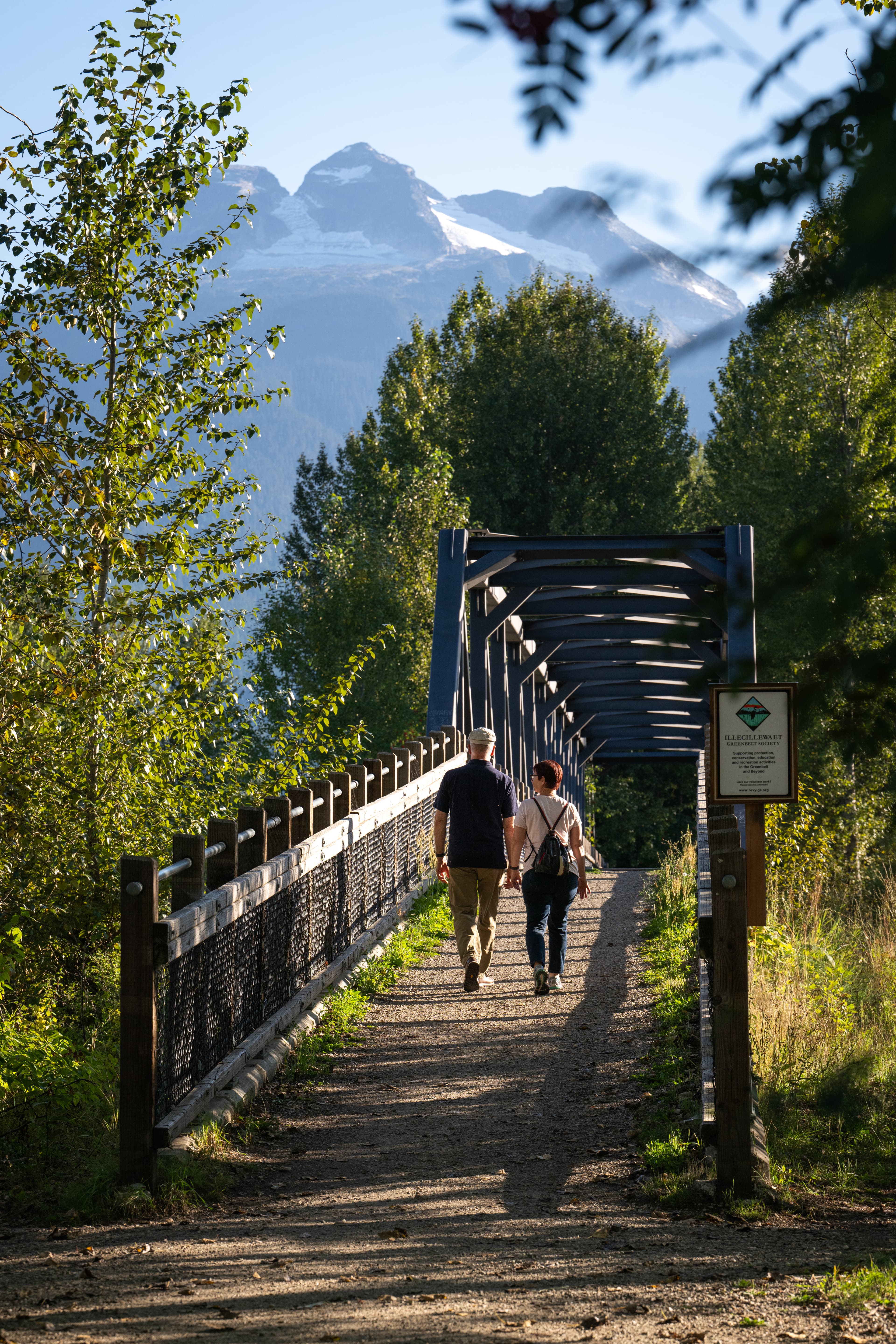
The paved dyke is a multi-use path that connects Revelstoke Southside to downtown near the Revelstoke Community Centre and Centennial Park baseball diamonds, track, and soccer fields. The Greenbelt consists of gravel trails; a great place for a leisurely walk, trail run, mountain bike ride, or gravel ride.
The greenbelt area is designated as an off-leash area within the City of Revelstoke that we can enjoy with our best furry friends. At most access points there are bear-proof garbage cans with provided dog bags and waste disposal receptacles to make cleaning up after your dog easy.

Illecillewaet Greenbelt | P Laura Szanto
Frequently asked questions
How long are the trails?
Why does the water fluctuate?
Why is there no signage?
How can I give back to the community?
Trails and loops range anywhere from 0.3km to 3km. Your walk could be a 30-minute loop or a half-day adventure!
The Illecillewaet Greenbelt and the Mark Kingsbury Bridge provide access to the Columbia River flats, which are part of BC Hydro’s Arrow Lakes Reservoir.
This 230 km long reservoir was created when the Hugh Keenleyside Dam was constructed. As a dam-controlled reservoir, the water levels in the area are prone to regular fluctuations, but forecasts are available from BC Hydro.
Due to water level fluctuations, signage is difficult to maintain. Utilize digital maps such as TrailForks or AllTrails.
Donating to local trail associations while visiting or volunteering is a direct way you can leave a positive impact. You can also help by supervising your pets and ensure you pick up after them.

The Real Stoke
Fuel Your Fire Within.
Experience #TheRealStoke for yourself.


